
Aerial data capture
Flight plan covering the whole yard, with overlap suited to volume calculation and ground control points where the required accuracy calls for them.
Drone volume measurement reconstructs stockpiles in three dimensions from aerial photographs, then calculates their volume against a reference surface. It applies to quarries, recycling platforms, aggregate yards, earthworks sites and agricultural storage.
Measuring stock from the ground means walking each pile with GNSS or a total station, moving among plant and machinery, with results that depend heavily on how many points are taken. On irregular piles the gap between two manual methods can be significant.
The drone captures several hundred photographs in one flight and produces a dense model of the yard. Volume is calculated over the whole surface of the pile, not from a handful of points, and repeating the same mission over time gives a direct comparison between two dates.
We agree the reference surface, the frequency of campaigns and the format of deliverables before the first visit.
Flight plan covering the whole yard, with overlap suited to volume calculation and ground control points where the required accuracy calls for them.
Reconstruction of the point cloud and the digital surface model of the yard and of each pile.
Volume of each stockpile against the chosen reference surface, pile by pile, with quantified results.
Campaigns repeated at regular intervals and compared between two dates, to track material coming in and going out.
A rectified, scaled view of the site, useful for organising storage areas and sharing information internally.
It depends on flight height, overlap and the use of ground control points. We set those parameters with you according to the accuracy you need.
No. The flight lasts as long as it takes to cover the yard; we simply agree a slot when the piles being measured are not being worked by machines.
A reference surface defined with you: the yard floor surveyed when empty, a design surface, or the model from a previous campaign.
It depends on how fast your stock turns over. Monthly or quarterly is common, with an additional campaign at the end of the financial year.
A pile inside a building cannot be surveyed by an outdoor flight. We say so during scoping rather than deliver an incomplete figure.
Four steps, from the first conversation to the delivery of your data.
We define together the perimeter, the accuracy required and the format of the deliverables.
Feasibility study, analysis of site constraints and regulatory procedures.
Our remote pilots operate on site, without interrupting your activity.
Data processing, quality control and delivery of annotated results.
Dronexperts operates across the whole of France. Our professional drone pilots travel to wherever your site is, anywhere in the country, and across Europe for the specific missions our industrial clients require.
Our 5 registered training centres — Paris West (Beynes, 78), Strasbourg (Schiltigheim, 67), Toulouse (Labarthe-sur-Lèze, 31), Marseille/Toulon (Le Castellet, 83) and Bordeaux (Mérignac, 33) — act as anchor points so we can reach every region quickly. They are starting bases, not a limit: we operate throughout France, with the same procedures, the same insurance cover and the same standards from one end of the country to the other.
Our anchor point in Île-de-France: Paris, the inner and outer suburbs and the wider Paris basin.
View the office pageOur Grand Est base: Strasbourg, Colmar, Mulhouse, Metz, Nancy, Reims and the German and Swiss border areas.
View the office pageOur Occitanie base: Toulouse, Montpellier, Albi, Tarbes, Perpignan and the whole South-West.
View the office pageOur Provence-Alpes-Côte d'Azur base: Marseille, Toulon, Aix-en-Provence, Nice and the Mediterranean coast.
View the office pageHead office and historical base of Dronexperts, in Nouvelle-Aquitaine: Bordeaux, La Rochelle, Limoges, Pau, Bayonne.
View the office pageIs your site far from all five centres? That is not a problem: our bases are starting points, not a service perimeter. We organise travel for the team and the equipment anywhere in France, and across Europe for specific missions, on quotation.
Condition of roof coverings, fixings and detailing, documented without any work at height.
Learn moreThermographic detection of underperforming photovoltaic modules, with no panel removal.
Learn moreDated aerial views, orthophotos and progress comparisons throughout the construction project.
Learn moreInspection of chimney shafts, crowns and equipment on tall structures, with no scaffolding.
Learn morePoint clouds and 3D models of existing buildings, ready for design studies and BIM.
Learn moreInspection of conductors, supports and turbine blades without any access at height.
Learn moreNon-destructive thickness testing of metal walls at height, with no scaffolding.
Learn moreTell us the type of material, the size of the yard and the frequency you need. We will come back to you with a proposal and a quote.
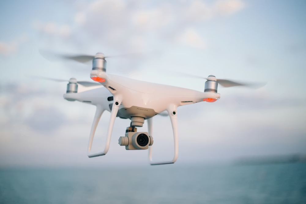
Become a certified expert and master the skies with our accredited training programs.
Discover
We use cookies to optimize your experience, analyze our traffic, and personalize content. To learn more, see our privacy policy.