
Visual inspection of lines and supports
Survey of conductors, insulators, cross-arms, pylons and poles, with close-up views of critical points.
Drone inspection of energy infrastructure examines components at height, live or moving, at close range: conductors, insulators, pylons and supports on power lines; blades, tower and nacelle on wind turbines. The pilot stays on the ground throughout.
Inspecting a line or a turbine usually means climbing the pylon, working on ropes along the blades, or flying a helicopter over the route. These methods are expensive, require heavy planning and expose operators directly.
The drone approaches the same components at a safe distance and brings back detailed views of each one. Defects are photographed and located, so a targeted intervention can be planned instead of mobilising a full team just to go and look.
The protocol is defined with your operations team: safety distances, any isolation required, machine shutdown and the scope covered.
Survey of conductors, insulators, cross-arms, pylons and poles, with close-up views of critical points.
High-definition survey of both faces of the blades, the leading edge, the tower and the external parts of the nacelle.
Detection of abnormal heating on connections and switching devices, an early sign of a developing fault.
Mapping of clearances between vegetation and conductors to plan tree-cutting works.
Findings tied to the support, span or machine concerned, illustrated with the matching views.
Not necessarily for an external visual inspection: the drone stays at a safe distance. The arrangements are settled with your operations team before the visit.
Yes for blade inspection: the machine is stopped and the blades positioned, in coordination with the operator.
Degraded insulators, corrosion, loosening and connection overheating on the network side; leading edge erosion, cracking, lightning strikes and delamination on the blade side.
Yes, depending on the size of the farm, wind conditions and the downtime allowed per machine. We plan the sequence with the operator.
Yes. Beyond the operating limits of our aircraft the visit is postponed: flight safety and image quality come before the schedule.
Four steps, from the first conversation to the delivery of your data.
We define together the perimeter, the accuracy required and the format of the deliverables.
Feasibility study, analysis of site constraints and regulatory procedures.
Our remote pilots operate on site, without interrupting your activity.
Data processing, quality control and delivery of annotated results.
Dronexperts operates across the whole of France. Our professional drone pilots travel to wherever your site is, anywhere in the country, and across Europe for the specific missions our industrial clients require.
Our 5 registered training centres — Paris West (Beynes, 78), Strasbourg (Schiltigheim, 67), Toulouse (Labarthe-sur-Lèze, 31), Marseille/Toulon (Le Castellet, 83) and Bordeaux (Mérignac, 33) — act as anchor points so we can reach every region quickly. They are starting bases, not a limit: we operate throughout France, with the same procedures, the same insurance cover and the same standards from one end of the country to the other.
Our anchor point in Île-de-France: Paris, the inner and outer suburbs and the wider Paris basin.
View the office pageOur Grand Est base: Strasbourg, Colmar, Mulhouse, Metz, Nancy, Reims and the German and Swiss border areas.
View the office pageOur Occitanie base: Toulouse, Montpellier, Albi, Tarbes, Perpignan and the whole South-West.
View the office pageOur Provence-Alpes-Côte d'Azur base: Marseille, Toulon, Aix-en-Provence, Nice and the Mediterranean coast.
View the office pageHead office and historical base of Dronexperts, in Nouvelle-Aquitaine: Bordeaux, La Rochelle, Limoges, Pau, Bayonne.
View the office pageIs your site far from all five centres? That is not a problem: our bases are starting points, not a service perimeter. We organise travel for the team and the equipment anywhere in France, and across Europe for specific missions, on quotation.
Condition of roof coverings, fixings and detailing, documented without any work at height.
Learn moreThermographic detection of underperforming photovoltaic modules, with no panel removal.
Learn moreVolume calculation of bulk material stockpiles by photogrammetry, with figures you can use.
Learn moreDated aerial views, orthophotos and progress comparisons throughout the construction project.
Learn moreInspection of chimney shafts, crowns and equipment on tall structures, with no scaffolding.
Learn morePoint clouds and 3D models of existing buildings, ready for design studies and BIM.
Learn moreNon-destructive thickness testing of metal walls at height, with no scaffolding.
Learn moreTell us the type of infrastructure, its location and the scope to cover. We will come back to you with an inspection protocol and a quote.
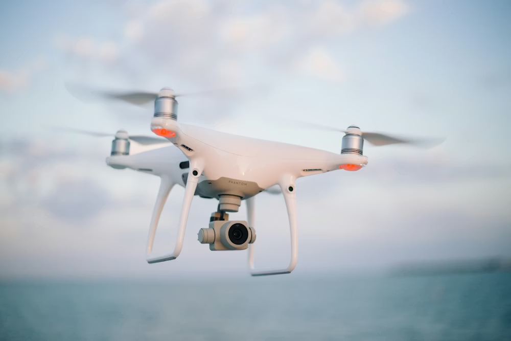
Become a certified expert and master the skies with our accredited training programs.
Discover
We use cookies to optimize your experience, analyze our traffic, and personalize content. To learn more, see our privacy policy.