
Aerial data capture
Flight plan at crossed angles covering facades and roof, with overlap suited to reconstruction and ground control where required.
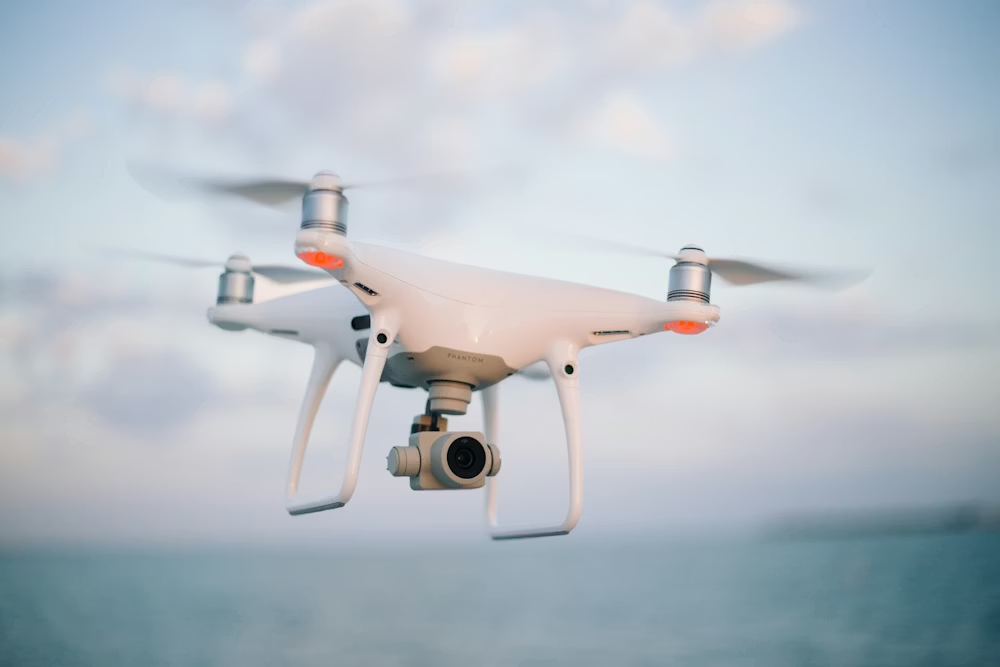
A drone building scan captures several hundred photographs from crossed angles, then derives a point cloud and a 3D model of the existing building by photogrammetry. That survey feeds refurbishment studies, extension projects and digital models.
A traditional survey documents accessible levels well, but roofs, upper facade sections and stepped volumes often remain approximate for want of access. Studies then start from incomplete geometry, which is paid for during the works.
The drone covers the full envelope of the building, from the base of the facade to the ridge, with no scaffolding or cherry picker. The resulting point cloud is geometrically consistent across the whole structure and serves as a shared basis for architects, engineers and contractors.
Deliverables and level of detail are agreed with you and with your design office before capture.
Flight plan at crossed angles covering facades and roof, with overlap suited to reconstruction and ground control where required.
Photogrammetric reconstruction of the building envelope, delivered in the usual exchange formats for your software.
Rectified, scaled views of each facade, usable as a base drawing for design studies.
Data delivered in a form your BIM team can pick up directly to model the existing building.
A textured model of the building in its surroundings, useful for project presentations and public consultation.
Point cloud, mesh, orthophotos and facade views in the usual exchange formats. We agree this with your design office before capture.
It depends on shooting distance, overlap and ground control. We size the capture according to the tolerance required by the study.
The drone covers the external envelope. Interiors call for a dedicated scan, which can be combined with the aerial survey for a complete model.
Capture takes a few hours; photogrammetric processing and preparation of the deliverables then take several days depending on the size of the building.
We deliver the geometric data that modelling starts from. Structuring it into BIM objects remains the work of your modelling team.
Four steps, from the first conversation to the delivery of your data.
We define together the perimeter, the accuracy required and the format of the deliverables.
Feasibility study, analysis of site constraints and regulatory procedures.
Our remote pilots operate on site, without interrupting your activity.
Data processing, quality control and delivery of annotated results.
Dronexperts operates across the whole of France. Our professional drone pilots travel to wherever your site is, anywhere in the country, and across Europe for the specific missions our industrial clients require.
Our 5 registered training centres — Paris West (Beynes, 78), Strasbourg (Schiltigheim, 67), Toulouse (Labarthe-sur-Lèze, 31), Marseille/Toulon (Le Castellet, 83) and Bordeaux (Mérignac, 33) — act as anchor points so we can reach every region quickly. They are starting bases, not a limit: we operate throughout France, with the same procedures, the same insurance cover and the same standards from one end of the country to the other.
Our anchor point in Île-de-France: Paris, the inner and outer suburbs and the wider Paris basin.
View the office pageOur Grand Est base: Strasbourg, Colmar, Mulhouse, Metz, Nancy, Reims and the German and Swiss border areas.
View the office pageOur Occitanie base: Toulouse, Montpellier, Albi, Tarbes, Perpignan and the whole South-West.
View the office pageOur Provence-Alpes-Côte d'Azur base: Marseille, Toulon, Aix-en-Provence, Nice and the Mediterranean coast.
View the office pageHead office and historical base of Dronexperts, in Nouvelle-Aquitaine: Bordeaux, La Rochelle, Limoges, Pau, Bayonne.
View the office pageIs your site far from all five centres? That is not a problem: our bases are starting points, not a service perimeter. We organise travel for the team and the equipment anywhere in France, and across Europe for specific missions, on quotation.
Condition of roof coverings, fixings and detailing, documented without any work at height.
Learn moreThermographic detection of underperforming photovoltaic modules, with no panel removal.
Learn moreVolume calculation of bulk material stockpiles by photogrammetry, with figures you can use.
Learn moreDated aerial views, orthophotos and progress comparisons throughout the construction project.
Learn moreInspection of chimney shafts, crowns and equipment on tall structures, with no scaffolding.
Learn moreInspection of conductors, supports and turbine blades without any access at height.
Learn moreNon-destructive thickness testing of metal walls at height, with no scaffolding.
Learn moreTell us about the structure, what the model will be used for and the formats you need. We will come back to you with a capture proposal and a quote.
Become a certified expert and master the skies with our accredited training programs.
Discover
We use cookies to optimize your experience, analyze our traffic, and personalize content. To learn more, see our privacy policy.