
Topographic surveys
The elevation and planimetry of your site, delivered to the accuracy agreed at the scoping stage.
Dronexperts carries out topographic surveys and aerial mapping of your sites. Full coverage in a few hours where a ground survey takes several days, with complete traceability of measurements and plans your teams can use straight away.
A drone survey captures the whole area in one flight, where ground-based methods proceed point by point. The data is consistent across the site, time-stamped and repeatable: you can revisit a measurement months later without sending a team back into the field.
That consistency matters most for construction monitoring: two surveys taken at different times can be compared directly, making real progress visible, including on areas that are hard to reach or still in operation.
Every survey is delivered in the coordinate system of your choice, together with details of the checks performed.
The elevation and planimetry of your site, delivered to the accuracy agreed at the scoping stage.
Scale plans of your site, readable by your own teams as well as your partners and the authorities.
Quantification of stockpiles, cut and fill, with the calculation method documented.
Repeat surveys over time, compared against each other to give an objective view of actual progress.
Aerial drone survey of a quarry and its concrete batching plant: the imagery feeds the volume calculation of the aggregate stockpiles.
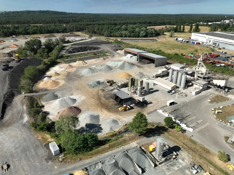
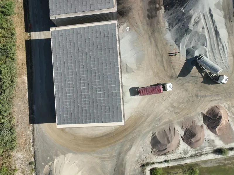
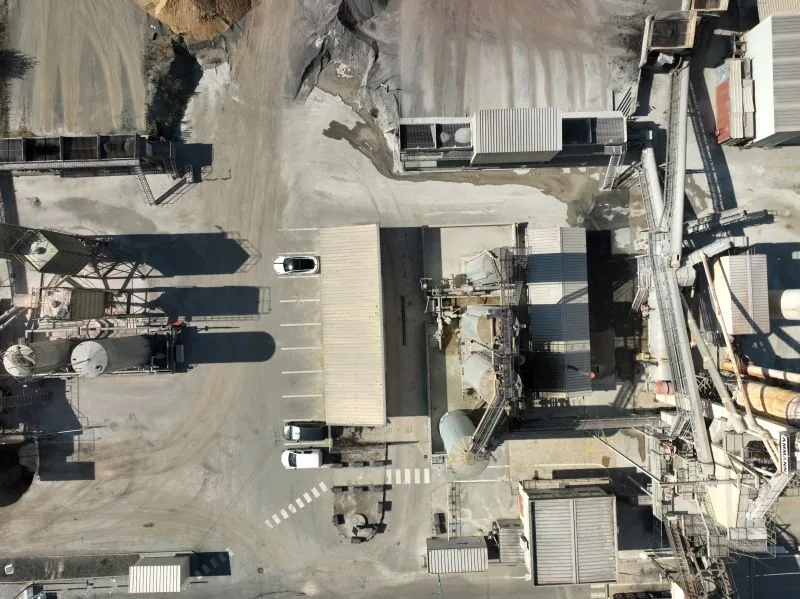
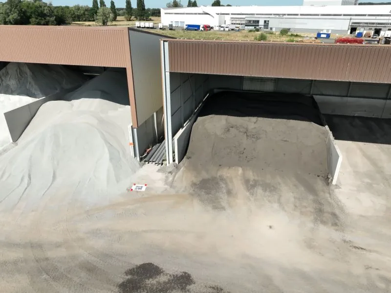
Four steps, from the first conversation to the delivery of your data.
We define together the perimeter, the accuracy required and the format of the deliverables.
Feasibility study, analysis of site constraints and regulatory procedures.
Our remote pilots operate on site, without interrupting your activity.
Data processing, quality control and delivery of annotated results.
Dronexperts operates across the whole of France. Our professional drone pilots travel to wherever your site is, anywhere in the country, and across Europe for the specific missions our industrial clients require.
Our 5 registered training centres — Paris West (Beynes, 78), Strasbourg (Schiltigheim, 67), Toulouse (Labarthe-sur-Lèze, 31), Marseille/Toulon (Le Castellet, 83) and Bordeaux (Mérignac, 33) — act as anchor points so we can reach every region quickly. They are starting bases, not a limit: we operate throughout France, with the same procedures, the same insurance cover and the same standards from one end of the country to the other.
Our anchor point in Île-de-France: Paris, the inner and outer suburbs and the wider Paris basin.
View the office pageOur Grand Est base: Strasbourg, Colmar, Mulhouse, Metz, Nancy, Reims and the German and Swiss border areas.
View the office pageOur Occitanie base: Toulouse, Montpellier, Albi, Tarbes, Perpignan and the whole South-West.
View the office pageOur Provence-Alpes-Côte d'Azur base: Marseille, Toulon, Aix-en-Provence, Nice and the Mediterranean coast.
View the office pageHead office and historical base of Dronexperts, in Nouvelle-Aquitaine: Bordeaux, La Rochelle, Limoges, Pau, Bayonne.
View the office pageIs your site far from all five centres? That is not a problem: our bases are starting points, not a service perimeter. We organise travel for the team and the equipment anywhere in France, and across Europe for specific missions, on quotation.
Measurable 3D reconstruction of your buildings, sites and land from aerial imagery.
Learn moreHigh-definition visual inspection of roofs, facades, civil structures and industrial installations.
Learn moreDetection of heat loss, water ingress and hot spots on buildings and equipment.
Learn moreAerial footage to showcase your sites, your projects and your events.
Learn moreTraining your teams to run drone operations, from theory through to practice.
Learn moreSelection, configuration and maintenance of your professional drone fleet.
Learn moreFacades, roofs, silos, tanks and solar panels cleaned by drone, with no scaffolding or platform.
Learn moreTell us the area involved, the accuracy you need and the plan format you want. We will reply with a concrete proposal.
Become a certified expert and master the skies with our accredited training programs.
Discover
We use cookies to optimize your experience, analyze our traffic, and personalize content. To learn more, see our privacy policy.