
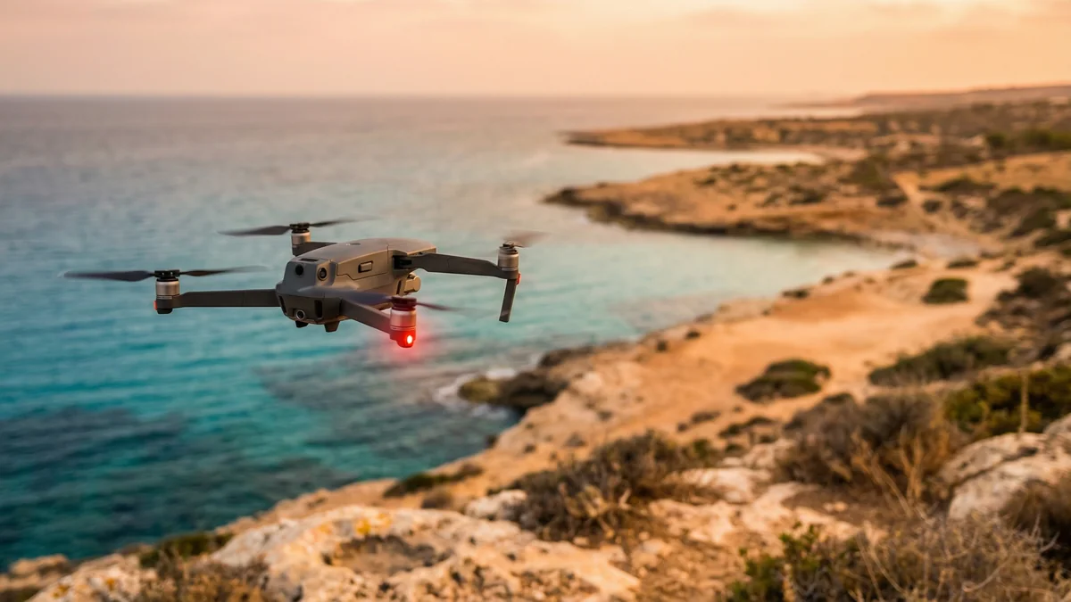
Drones in the Mediterranean: 16 New Prohibited Zones in 2026
Dronexperts
Company
Discover the 16 new drone prohibited zones in the Mediterranean for 2026-2027. Maps, penalties, and tips for flying legally this summer.
Drones in the Mediterranean: 16 New Prohibited Zones in 2026
Summer 2026 is shaping up to be a bit of a regulatory puzzle for drone pilots on the Mediterranean coast. Against a backdrop of heightened security, the French Civil Aviation Authority (DGAC) has issued SUP AIP 052/26, establishing sixteen new Temporary Prohibited Zones (ZIT).
These restrictions, active without interruption until November 2027, cover major tourist hotspots and are designed to protect specific defense installations. This measure is part of a broader national policy to tighten anti-drone regulations across France.
A Disrupted Map for Pilots
The publication of this aeronautical supplement significantly alters flight possibilities in Southern France. The sixteen affected zones, each with a diameter of 7.4 kilometers, stretch from the Spanish border all the way to Corsica, passing through the French Riviera. While some areas like Porquerolles or the eastern coast of Corsica already faced restrictions, the majority of these new ZITs neutralize spaces that were previously accessible to both hobbyists and professionals.
Key prohibited sectors now include iconic locations such as Leucate, l'Espiguette, Cap Ferrat, and Cap Corse. Entry into these areas is strictly forbidden for any unmanned aircraft, with the notable exception of state-operated drones (law enforcement, customs, or emergency services). For everyone else, leisure flight waivers are virtually impossible to obtain. Professionals, meanwhile, must provide five working days' notice and receive explicit approval from the Mediterranean Command Center (CECMED).
The Trap of Outdated Maps
The primary danger for remote pilots lies in the lack of visibility regarding these new restrictions. Many consumer-grade platforms, including Geoportail or standard state websites, do not always display these Temporary Prohibited Zones in real-time. This lack of visual information exposes many users—who may not be comfortable deciphering complex SUP AIP documents—to involuntary infractions.
To prepare a flight safely, it is imperative to use reactive third-party applications like FlyBy, which quickly integrate these aeronautical updates. Systematically checking NOTAMs (Notice to Air Missions) and AIP supplements on the SIA (Aeronautical Information Service) website remains the only absolute guarantee of compliance before takeoff.
Dissuasive Sanctions in a Tense Climate
The consequences of an illegal overflight, even if accidental, are particularly severe. According to the French NATINF code, overflying a prohibited zone through clumsiness or negligence exposes the offender to up to six months in prison, a €15,000 fine, and the confiscation of their equipment. For intentional overflights, the maximum fine jumps to €45,000.
These drastic measures are part of a global reinforcement of national security. The recent update to the 2026 Military Programming Law (LPM) provides for massive investments in anti-drone technology. Furthermore, new legislative provisions are being considered to allow private security agents to neutralize drones threatening sensitive sites. In this evolving landscape, professional rigor and meticulous flight preparation are more indispensable than ever for every drone enthusiast and professional.
Planning a mission near the coast? Don't take chances with your gear or your record. Check your maps, update your firmware, and when in doubt, keep the drone grounded.
[👉 Contact Dronexperts for professional flight planning assistance]
Cookie Settings
We use cookies to optimize your experience, analyze our traffic, and personalize content. To learn more, see our privacy policy.