
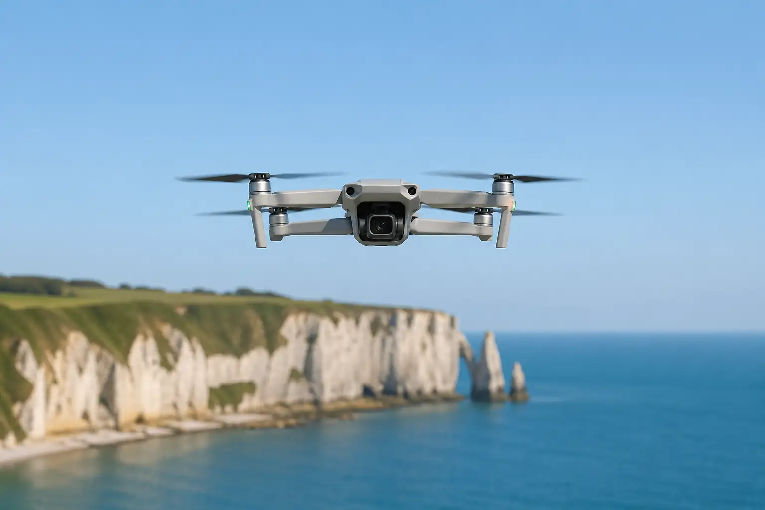
Drones in Normandy: Restricted Zones in Cotentin and the Seine Bay 2026–2027
Dronexperts
Company
12 TRZs and 5 TDZs created in Normandy from April 27, 2026 to April 26, 2027. Everything drone pilots need to know before flying in Cotentin and the Seine Bay.
If you're planning to fly your drone in Normandy — whether for coastal photography, a professional mission, or a casual leisure session — there is a major regulatory update you need to know about right now. AIP SUP 076/26, which came into force on April 27, 2026, establishes 12 Temporary Restricted Zones (TRZs) and 5 Temporary Danger Zones (TDZs) covering the Seine Bay and the Cotentin peninsula, valid for one full year. Here is everything you need to know.
Why Were These Zones Created?
These airspace restrictions are not linked to a one-off event — they are tied to a permanent and growing activity: BVLOS (beyond visual line of sight) drone flights operated by the French Navy for maritime surveillance purposes.
In practical terms, these zones protect flight corridors used by state-operated drones flying long-range over the English Channel — a strategically critical area for monitoring maritime traffic, combating illegal sea crossings, and protecting French sovereign interests in the North Sea and Atlantic.
The distinction between TRZs and TDZs is technical but important:
- TRZ (Temporary Restricted Zone): applies within 12 nautical miles of the coastline (French territorial waters). Flight is restricted and prohibited without specific authorization when the zone is active.
- TDZ (Temporary Danger Zone): applies beyond 12 nautical miles. Flying in a TDZ is technically legal, but pilots and navigators are explicitly warned of the particularly dangerous nature of these areas when activated.
What Changed Compared to 2025
This is not the first time these zones have been established. In 2025, the same framework was in place, but at a smaller scale: the arrangement then included only 6 TRZs and 5 TDZs — exactly half the current number of restricted zones.
In 2026, the number of TRZs has been doubled, from 6 to 12. This doubling reflects a significant intensification of French Navy BVLOS operations in the region. It aligns with the broader scale-up of French military drones: the Directorate General of Armaments (DGA) has ordered 34 Aliaca mini-drone systems (Survey Copter) to progressively equip frigates and patrol vessels in the fleet, with deliveries scheduled through 2026.
What This Means for Civil Drone Pilots
The zones are activatable by NOTAM with a minimum 48-hour notice. In theory, it is therefore possible to check their activation status before a flight. In practice, accessing NOTAMs remains complex for the general public, and most drone mapping applications do not integrate them reliably in real time.
The practical recommendation is therefore unambiguous: refrain from flying in the affected zones, at any time of day and any time of year, for the full duration of the arrangement — through April 26, 2027.
For professional drone pilots who have a genuine operational need to fly in these zones, the managing authority is COMNORD (Commander of the Maritime Zone of the English Channel and the North Sea), reachable at +33 (0)2 33 92 60 40. A specific exemption can be requested but will only be granted after prior contact and operational validation.
Flights remain permitted without special procedures for aircraft engaged in public safety missions (law enforcement, coastguard, search and rescue, firefighting, urgent medical transport), provided the mission prevents routing around the zone.
How to Check the Zones Before Flying
Several tools allow you to visualize these restrictions:
- French Civil Aviation Geoportal (SIA map): the official reference for regulated French airspace.
- FlyBy app: regularly incorporates updates to French regulated zones and sends alerts.
- AlphaTango (DGAC): the official platform for flight declarations and authorized airspace consultation.
- Regulatory reference: AIP SUP 076/26, available on the SIA website (sia.aviation-civile.gouv.fr).
It is also worth noting that the Normandy region is subject to other permanent restrictions related to military zones, proximity to the aerodromes of Caen, Cherbourg and Le Havre, as well as environmental protection areas (natural parks, coastal bird reserves).
Conclusion: Normandy's Airspace — Increasingly Constrained
The multiplication of TRZs and TDZs in Normandy is not an isolated phenomenon. It is part of a national trend: the intensification of BVLOS state drone operations is mechanically fragmenting the airspace available to civilian pilots.
For professionals who regularly operate in this region — aerial photography, infrastructure inspection, coastal topographic surveys — it is essential to factor this framework into the planning of every mission. And for recreational pilots, the rule is simple: always check before you fly.
Cookie Settings
We use cookies to optimize your experience, analyze our traffic, and personalize content. To learn more, see our privacy policy.